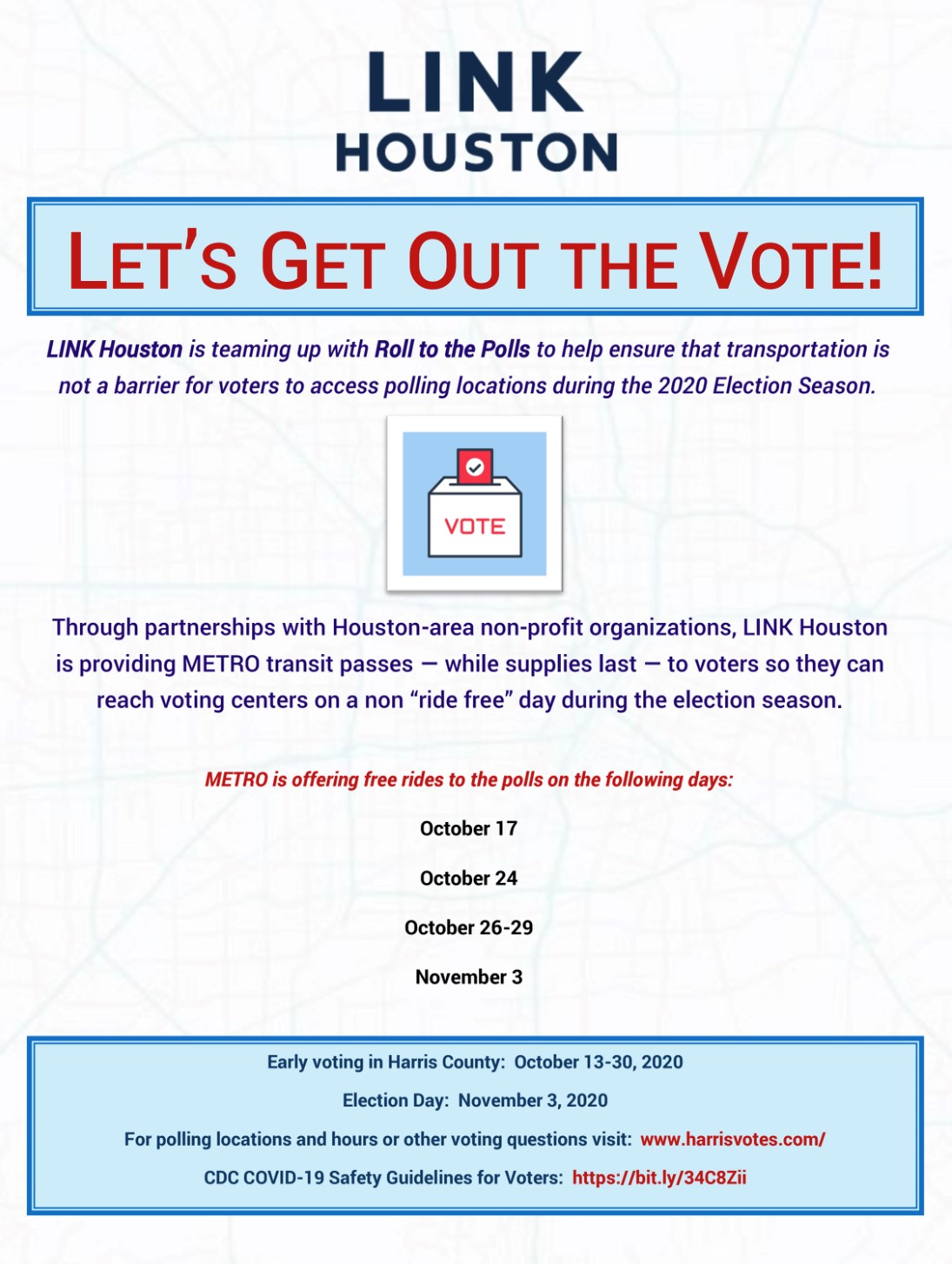
LINK Houston is teaming up with Roll to the Polls to help ensure that transportation is not a barrier for voters to access polling locations during the 2020 Election Season. We created neighborhood maps showing bikeways and transit services alongside early voting and Election Day voting sites. To view or download the universal English flyer, universal Spanish flyer, and neighborhood-specific maps for each of Houston’s 88 Super Neighborhoods, click on the following link to open an online folder: LINK Houston Vote2020.
Don’t want to browse to find your neighborhood?
Here is a selection of direct download links for neighborhoods we identified as high on our Transportation Equity Demand Index in 2018:
- Acres Homes – English or Spanish
- Alief – English or Spanish
- Denver Harbor / Port Houston – English or Spanish
- Greater Fifth Ward – English or Spanish
- Greater Greenspoint – English or Spanish
- Greater OST / South Union – English or Spanish
- Gulfton – English or Spanish
- Independence Heights – English or Spanish
- Kashmere Gardens – English or Spanish
- Magnolia Park – English or Spanish
- Near Northside – English or Spanish
- Northside / Northline – English or Spanish
- Second Ward – English or Spanish
- Sharpstown – English or Spanish
- Spring Branch Central – English or Spanish
- Sunnyside – English or Spanish
- Greater Third Ward – English or Spanish
- Trinity / Houston Gardens – English or Spanish
Early voting in Harris County: October 13-30, 2020
Election Day: November 3, 2020
For polling locations and hours or other voting questions visit: www.harrisvotes.com/
CDC COVID-19 Safety Guidelines for Voters: https://bit.ly/34C8Zii
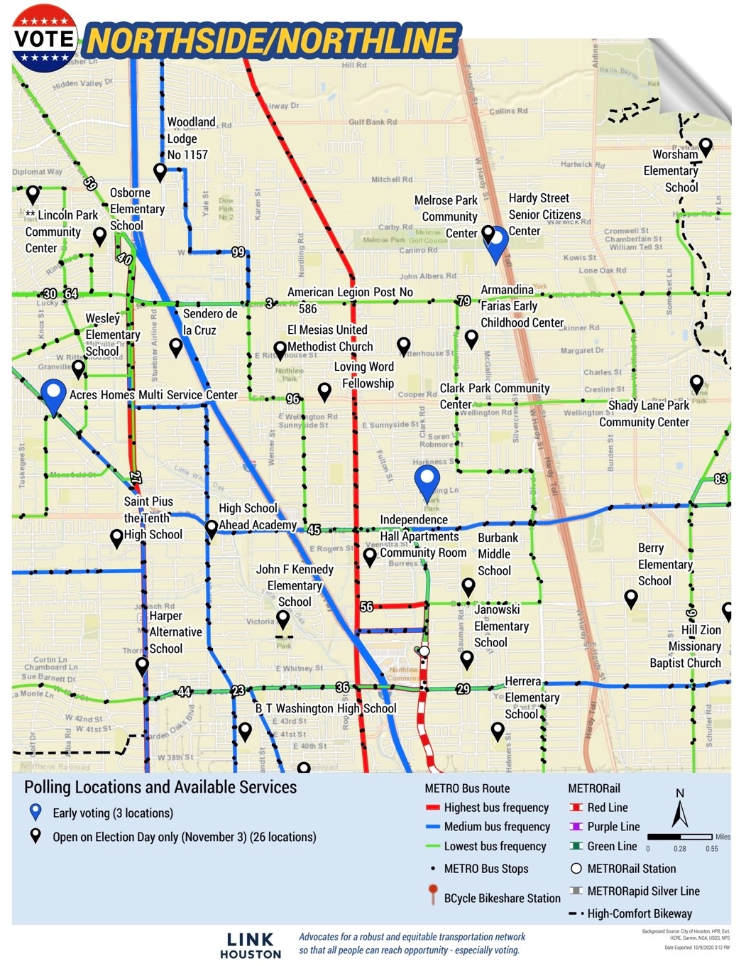
Northside Northline Neighborhood map depicting transit, bikeways, and polling locations.